
Industry Problem
Cities are expanding faster than ever, but the tools used to plan them haven’t always kept pace. Traditional urban planning often relies on outdated maps, manual surveys, and fragmented datasets. This creates several challenges:
- Inaccurate or incomplete spatial data
- Slow decision-making processes
- Limited visibility into real-time urban changes
- Difficulty modeling future development scenarios
As urban environments become more complex, planners need faster, more precise, and scalable ways to understand how cities grow and function. This is where drone technology begins to reshape the landscape.
What Is Drone Urban Planning?
Drone Urban Planning refers to the use of unmanned aerial systems (UAS) to collect, analyze, and visualize spatial data for city development and infrastructure planning.
These aerial systems—often called urban drones—capture high-resolution images, geospatial data, and terrain information. This data is then processed into usable formats such as:
- GIS drone mapping datasets
- 3D urban modeling environments
- Digital twin for urban planning simulations
Why It Matters
Drone technology introduces speed, accuracy, and scalability into urban planning. Instead of relying on static or outdated information, planners can access:
- Near real-time aerial insights
- Highly detailed topographic data
- Dynamic visualization of urban environments
This shift enables better-informed decisions, reducing risks and improving long-term planning outcomes.
Practical Applications in Real-World Urban Development
Drone technology is not just theoretical—it is actively transforming how cities are designed, monitored, and improved.
a. High-Resolution Mapping and Data Collection: Urban planning drone surveys allow professionals to gather precise geospatial data in a fraction of the time required by traditional methods. This includes:
- Land use mapping
- Infrastructure assessment
- Environmental monitoring
With GIS drone mapping, planners can layer data to better understand spatial relationships across a city.
b. 3D Urban Modeling and Visualization: Using drone imagery, planners can build accurate 3D urban modeling environments. These models help visualize:
- Building heights and density
- Traffic flow patterns
- Shadow and sunlight impact
This makes it easier to test development scenarios before implementation.
c. Digital Twins for Smarter Cities: A digital twin for urban planning is a virtual replica of a real-world city. Drone data feeds these models with up-to-date information, enabling:
- Scenario simulation (e.g., flood risks, traffic changes)
- Infrastructure lifecycle monitoring
- Data-driven policy decisions
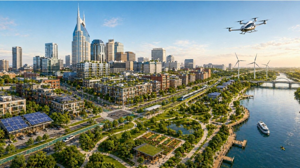
This concept is central to the evolution of the modern drone city, where planning becomes predictive rather than reactive.
d. Infrastructure Inspection and Monitoring: Drones provide safe and efficient inspection of:
- Roads and bridges
- Utility networks
- Construction sites
By using drone imagery for urban development, planners can monitor progress and identify issues early without disrupting operations.
e. Smart Zoning and Land Use Planning: With accurate aerial insights, urban planners can make better zoning decisions. Drone urban planning services help evaluate:
- Population density trends
- Green space allocation
- Urban sprawl patterns
This leads to more balanced and sustainable development strategies.
Contextual Industry Perspective
As drone adoption grows, many organizations are contributing to the integration of aerial data into planning workflows. Companies such as DaaS are part of this broader shift toward data-driven urban development, supporting industries with scalable aerial insights that enhance mapping accuracy and spatial awareness.
This reflects a wider movement toward integrating drone-based intelligence into planning ecosystems rather than relying solely on traditional surveying methods.
Future Relevance and Industry Importance
The role of drones in urban planning is expected to expand significantly in the coming years. Several trends highlight this trajectory:
Integration with Smart Cities: Drones will play a key role in building smart dronecity ecosystems, where real-time data supports automated decision-making and urban optimization.
AI and Predictive Planning: When combined with artificial intelligence, drone data can help predict:
- Urban growth patterns
- Infrastructure stress points
- Environmental impacts
This transforms planning from reactive to proactive.
Sustainability and Environmental Monitoring: Drones enable better tracking of:
- Air quality
- Green spaces
- Climate-related risks
This supports more sustainable urban development practices.
Increased Accessibility and Scalability: As drone technology becomes more accessible, even smaller municipalities can adopt drone urban planning services, leveling the playing field across regions.
Summary
Drone technology is reshaping how cities are planned, built, and managed. By enabling accurate data collection, real-time insights, and advanced modeling capabilities, it addresses long-standing challenges in urban planning.
From GIS drone mapping to digital twins for urban planning, these tools are helping create more efficient, resilient, and informed urban environments. As adoption continues to grow, the concept of a fully integrated drone city is becoming less of a future vision and more of a present reality.
Ultimately, drone-powered planning represents a shift toward smarter, data-driven decision-making—an essential step in managing the complexity of modern urban development.

Leave a comment